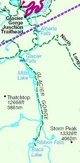
I went hiking at Rocky Mountain National Park with a co-worker. We hiked from Bear Lake trailhead (which is the dot above Glacier Gorge Junction) and ended up at Black lake. (see map)
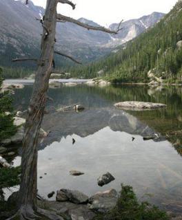
Here are a few more shots taken from Mills Lake.
It started to rain and hail after we left Mills Lake so I do not have any more images. We ended at Black Lake (see map) and decided to turn around to get back to the car before the storm got worse. The total distance was around 8.5-9 miles and took us about 4.5 hours. It was a fairly easy climb being that we started at around 10,000 feet elevation.
Mark


